
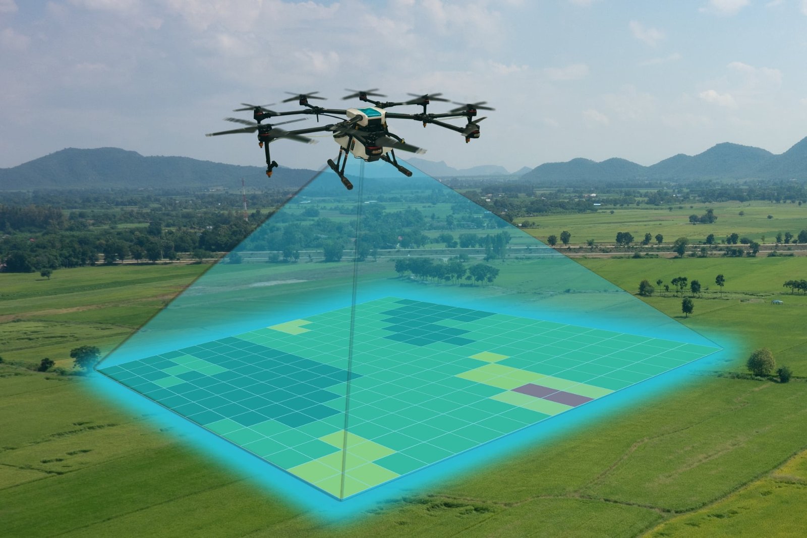
SkyArc produces high-resolution 2D and 3D visuals that help owners, contractors, planners, and assessors see entire sites at once. These captures support planning, earthwork tracking, access evaluation, and before/after documentation without replacing licensed surveying.
What this service is for
- New construction starts and pre-design baselines
- Earthwork progress and stockpile checks between official surveys
- Site planning and utility coordination
- Property or land-use evaluations
- Before/after comparisons around critical phases or weather events
What you receive
- Geo-referenced orthomosaic images
- 2D and basic 3D surface models
- Elevation or contour-style visuals (project-dependent)
- Planning-level volume estimates for defined stockpiles (not a replacement for licensed survey)
- Organized deliverables labeled by date, location, and scope
Metadata integrity
All mapping files include EXIF timestamps, GPS coordinates, altitude, orientation, and matching flight-log records. Nothing is stripped or altered.
Typical Deliverables
Deliverables vary by project scope, but can include:
– Georeferenced orthomosaic (GeoTIFF and a common viewable format)
– 3D surface model or point cloud when included in scope
– Optional basic volume / cut–fill estimates when requested up front
– KMZ/overlay files for Google Earth or GIS
– Brief summary note with key observations and timestamps