Welcome to Blue Nose Aerial Imaging of the Treasure Valley
Drone Mapping & Inspection Services in the Boise Treasure Valley
Blue Nose Aerial imaging of the Treasure Valley is a service-disabled veteran-owned aerial data company based in Nampa ID. We serve construction, utility and facility teams across the Treasure Valley with data‑rich aerial visuals. These visuals help you monitor progress, verify work, and protect your budget without walking the job. Want to see what’s happening on your job right now?
Request a Mission Quote
Speak With the Founder

More than 3000+ happy customers
[ who we are ]
Blue Nose Aerial Imaging – Treasure Valley
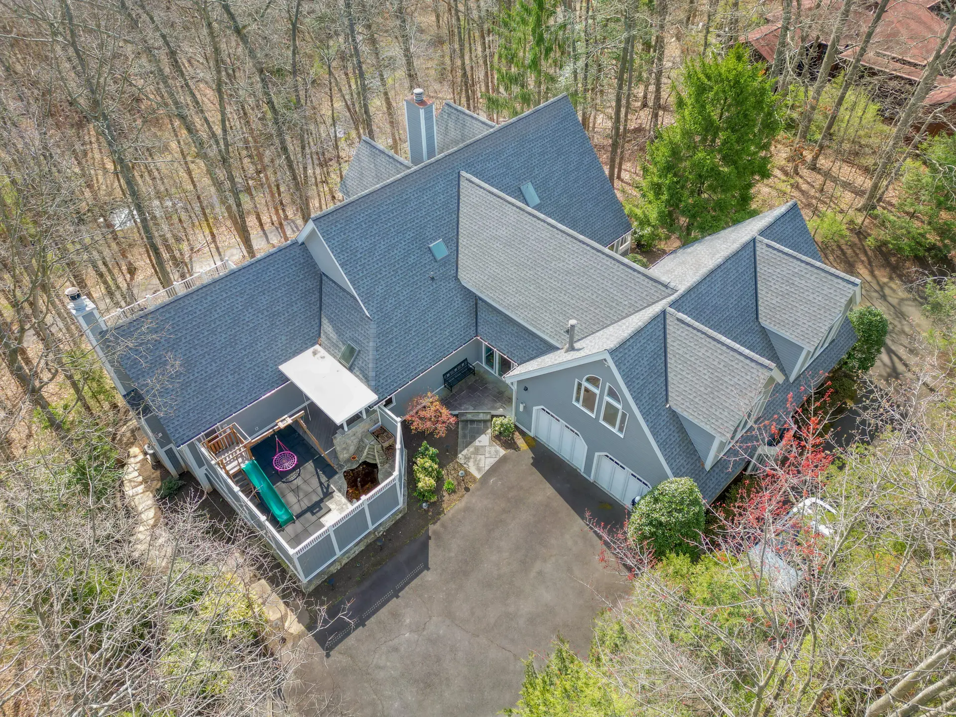
Blue Nose Aerial Imaging of the Treasure Valles provides drone based data designed for people who make decisions.
- FAA Part 107 licensed and fully insured
- <2 business days turnaround on most deliverables
- Data ready to plug into Procore, BIM or your email updates
- Local knowledge of your site
- Level 1 thermographer & NIST BPERP certified
- Member of the Blue Nose network; locally owned and operated
- Trained in privacy and data security protocols (CMM Lv1 Certified)
- We handle flight approvals and waivers for you
- Defensible data, not pretty pictures
[ why choose us ]
Every Mission Treated Like It Matters
Blue Nose Aerial Imaging of the Treasure Valley was built by a former Army Sergeant First Class with eighteen years in special operations and ten global deployments. That experience means we plan and treat every mission like it matters. Clear intent, solid planning, disciplined execution, and honest reporting.
2 Decades of military experience
0
+
Proven expertise built through eighteen years in special operations.
10 Global Deployments
0
+
Real-world mission performance across nine Middle East deployments.
100% Authentic Truth
0
%
Clean, validated evidence captured with full metadata for trusted reporting.
Construction & Development
Developers, general contractors, owner’s reps, lenders, and inspectors who need consistent angles and repeatable documentation across months.
Find Out More
Infrastructure & Public Works
Utilities, municipal agencies, and public-works teams managing assets that are difficult or dangerous to access from the ground.
Find Out More
Agriculture & Land Management
Farm operators, ranchers, and landowners watching irrigation coverage, visible stress, timber health, and access conditions across large properties.
Find Out More
Insurance, Claims & Investigations
Adjusters, carriers, and legal teams requiring verifiable, unaltered imagery tied to a specific time, place, and flight record.
Find Out More
Incident Support & Search Areas
Emergency-support partners and private citizens who need aerial context or thermal-assisted search patterns, including missing pet scenarios within a defined search box.
Find Out More
Construction & Development
Developers, general contractors, owner’s reps, lenders, and inspectors who need consistent angles and repeatable documentation across months.
Find Out More
Infrastructure & Public Works
Utilities, municipal agencies, and public-works teams managing assets that are difficult or dangerous to access from the ground.
Find Out More
Agriculture & Land Management
Farm operators, ranchers, and landowners watching irrigation coverage, visible stress, timber health, and access conditions across large properties.
Find Out More
Insurance, Claims & Investigations
Adjusters, carriers, and legal teams requiring verifiable, unaltered imagery tied to a specific time, place, and flight record.
Find Out More
Incident Support & Search Areas
Emergency-support partners and private citizens who need aerial context or thermal-assisted search patterns, including missing pet scenarios within a defined search box.
Find Out More
how it works
The Blue Nose Mission Workflow
Every mission begins with clarity. We follow a disciplined, repeatable process designed to capture accurate evidence, verify details, and deliver outputs you can trust for decision-making, documentation, claims, or long-term project management.
Blue Nose
01
Listen
You define the decision and tell us what you need to confirm, document, prove, measure, compare, or search. Every mission starts with a decision, not a flight.

Blue Nose
02
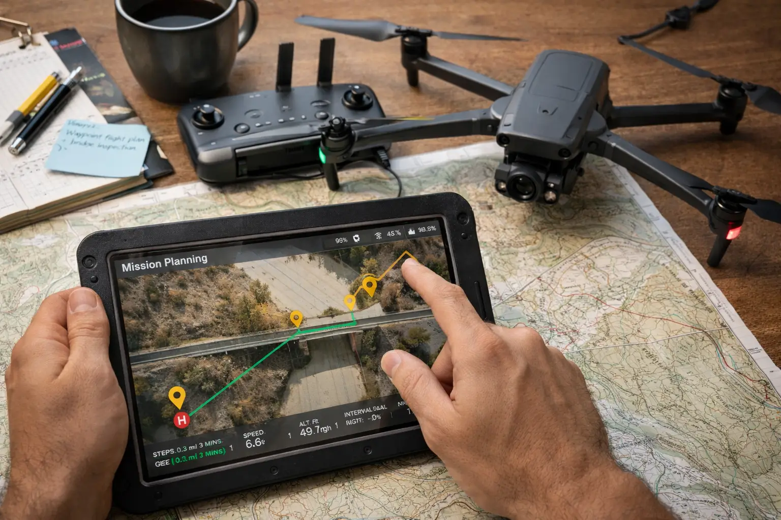
Plan
We validate the site or incident location, timing, access needs, airspace limitations, and what can be realistically and safely captured.
Blue Nose
03
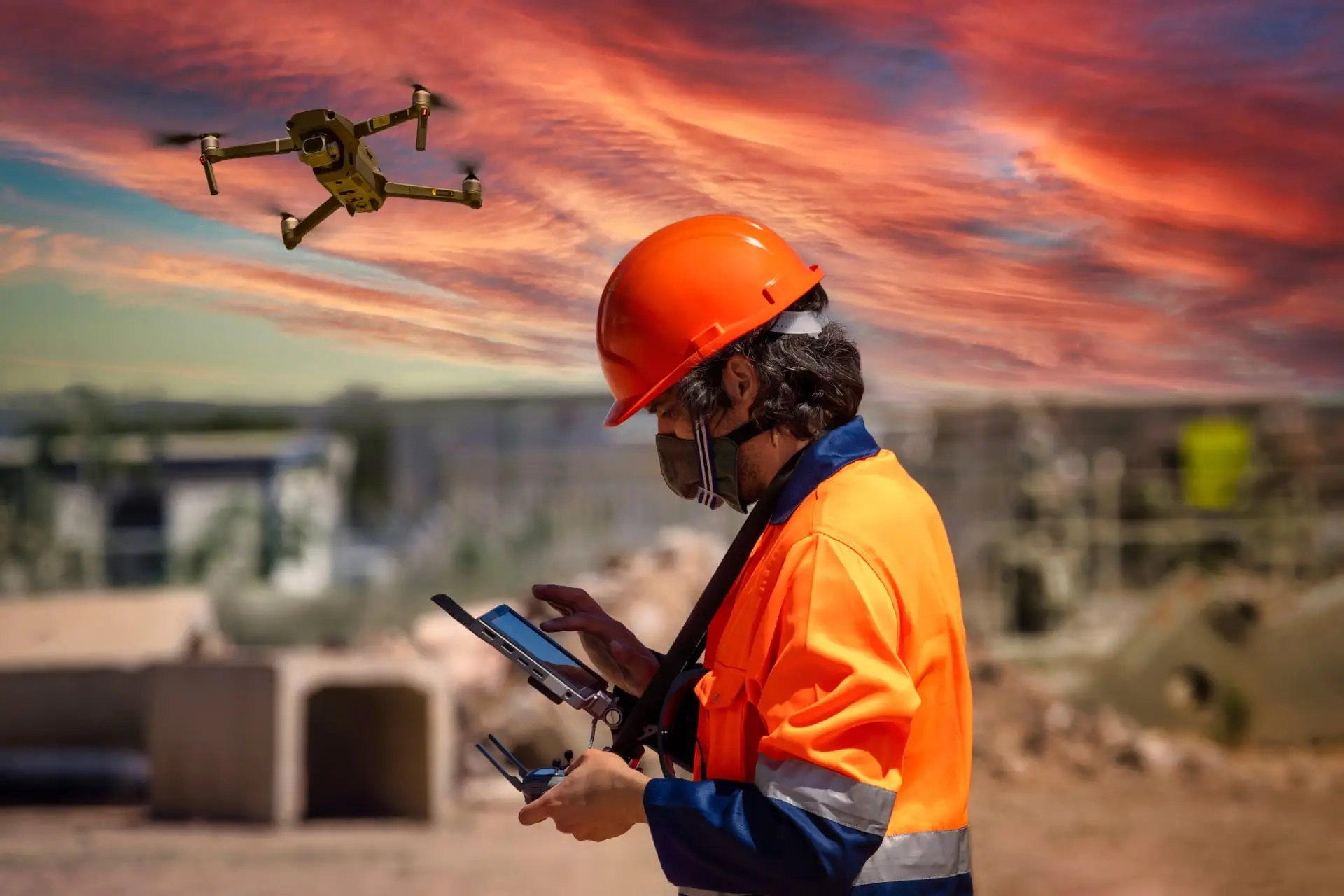
Fly
We capture high-precision data using RTK-equipped drones, structured routes, & repeatable procedures under strict safety protocols. If conditions change, we adjust, without compromising accuracy.
Blue Nose
04
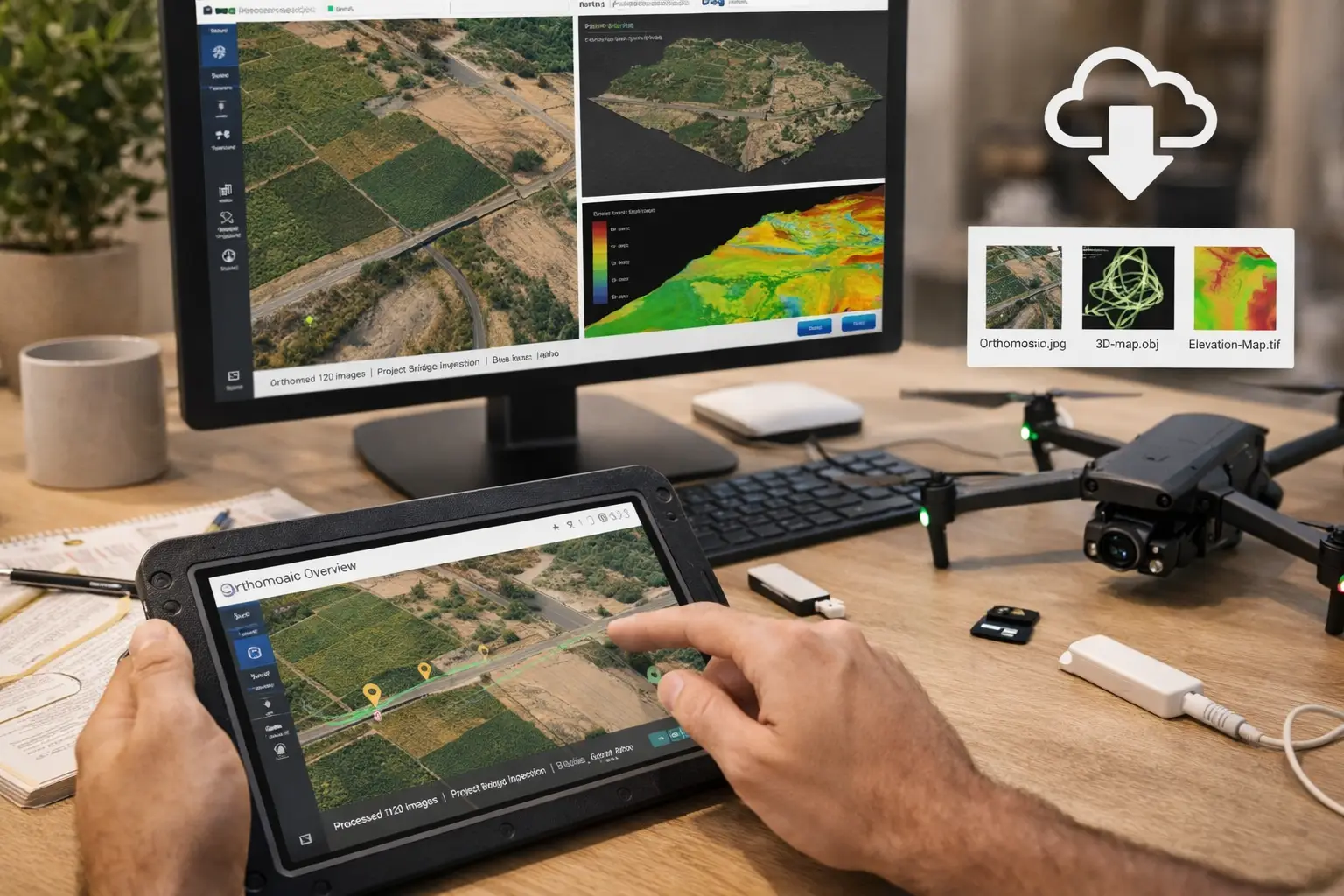
Deliver
We process, annotate & format the data to fit you, so that you can seemlessly plug it into your workflows.
Blue Nose
01
Listen
You define the decision and tell us what you need to confirm, document, prove, measure, compare, or search. Every mission starts with a decision, not a flight.
Blue Nose
02
Plan
We validate the site or incident location, timing, access needs, airspace limitations, and what can be realistically and safely captured.
Blue Nose
03
Fly
We capture high-precision data using RTK-equipped drones, structured routes, & repeatable procedures under strict safety protocols. If conditions change, we adjust, without compromising accuracy.
Blue Nose
04
Deliver
We process, annotate & format the data to fit you, so that you can seemlessly plug it into your workflows.
Service Area
Blue Nose Aerial Imaging is based in Nampa and serves Boise, Meridian, Caldwell, Kuna, and the broader Treasure Valley. Regional projects across Southwest Idaho and neighboring states are available on request.
meet our team
Our Team
Delivering reliable engineering solutions for power generation, distribution, and energy-efficient industrial systems.
We support renewable, hybrid, and conventional energy infrastructures with precision and long-term performance.
Edward John
Founder & CEO
Edward John
Founder & CEO
Edward John
Founder & CEO
Edward John
Founder & CEO
Edward John
Founder & CEO
direct and indirect employees working on our projects
0
k
Find Out More
What Clients Say About us
“Blue Nose Aerial imagery brought clarity to our monthly construction reviews in a way we’ve never had before.
Their consistent flight angles and time-stamped imagery removed all uncertainty from our progress meetings.
This service has become essential to our workflow.”
“We used Blue Nose for a storm-damage claim and the insurer approved everything on the first pass. The time-stamped aerials and flight-log metadata removed all guesswork.”
“As a utilities operations supervisor, I need information I can trust—not filtered images.
Blue Nose delivered clean, unaltered visuals that helped our team identify issues without sending workers into dangerous areas.
We’ll be using them for all future inspections.”
“Blue Nose Aerial imagery brought clarity to our monthly construction reviews in a way we’ve never had before.
Their consistent flight angles and time-stamped imagery removed all uncertainty from our progress meetings.
This service has become essential to our workflow.”
“We used Blue Nose for a storm-damage claim and the insurer approved everything on the first pass. The time-stamped aerials and flight-log metadata removed all guesswork.”
“As a utilities operations supervisor, I need information I can trust—not filtered images.
Blue Nose delivered clean, unaltered visuals that helped our team identify issues without sending workers into dangerous areas.
We’ll be using them for all future inspections.”
[ Request a quote ]
Ready to Put a Site or Incident on the Record?
Whether you’re tracking a project, inspecting an asset, documenting an incident, or searching a defined area, Blue Nose gives you the aerial perspective and metadata to back your decisions.
Reach out via our contact form or use the details. We’re here to help!
[ Integrity in Every File]
How We Protect Data Integrity
Without Metadata your photos are just pretty pictures.
Every file includes its original, unaltered metadata:
- EXIF timestamps
- GPS coordinates tied to camera position
- Altitude and aircraft attitude metrics
- Camera angle and gimbal orientation
- UTC capture time for auditing and claims
- Direct linkage to mission flight logs
This provides a verifiable chain of capture that supports claims, progress reviews, incident reports, maintenance planning, and any situation where someone may later ask, “When exactly was this taken, and from where?”
We never strip metadata, rename files in ways that break chronology, or alter source imagery.
What you receive is the true digital record tied to the mission log—clean, defensible, and traceable.

[elementor-template id=”1496″]